Introduction

Introduction: Mapping Out a Plan for the Rest of My Life and Enjoying the Journey

My Golden Years are an extension of the life I have lived up to retirement which began on December 1, 2011. I have organized this blog to include the top ten relevant topics shown below in the right side column in General Topics. Just click on one and you will see all that I have written on that topic. Click on the Most Current tab for chronological order of all entries.

I have addressed each topic in no particular order other than what is currently on my mind on the day I am posting. I started each topic by describing where I was when I began this blog and then exploring the possibilities of progression and any goals that I would like to meet. After that, I write about the path to reach that goal as it happens. Sometimes I just write about what is happening now.

I welcome any comments and questions either on this blog or email as I travel these paths and hope to share my growth with interested persons who may find some common elements in their own path to the rest of their life. I hope to use my skills as an appraiser for nearly 30 years to continue to observe different perspectives on a subject and reconcile into a conclusion that is of value to me. Please join me whenever you like. Email notice of new posts is no longer available so just bookmark the address.

Of most importance to me is the confidence developed in my intuitive skills over the years and it is that part of my character I am trusting to define value in my life. I believe change can be good and I can be enriched by believing in my true self using my intuition. The analytical part of my life no longer has a financial grip and I can let go of what absolutely made sense at the time in favor of what feels right now. I have done a lot of work since this blog began in 2011 and I hope you will join me as I explore this approach in My Golden Years.


Pages

Friday, August 21, 2015

Big Niangua River Trail - First Float with Signs Posted

A dozen colorful kayakers put in mid-morning at Point "S" Mother Nature's Riverfront Retreat-Family Side Access
Now the fun begins!  All the hard work from dedicated volunteers and sponsors has come to an end and the next phase of this project is to enjoy it.  This project was jointly sponsored by Lake of the Ozarks Watershed Alliance (LOWA), the Lake of the Ozarks Chapter of the Missouri Master Naturalist Program with advisers from the Missouri Department of Conservation, and Ameren Missouri; in partnership with Missouri State Parks, a division of the Missouri Department of Natural Resources.  For more information about these groups and much of what it took to get to this point, please see two other articles in this blog:
Big Niangua River Trail Maiden Voyage and
Big Niangua River Trail Dedication Day


Rose mallow (hibiscus) can be found soon after launch on this beautiful calm late August day where the temperature ranged 65-80 degrees.  Perfect! 

Good fishing spots are marked at Points "R" and "Q" but today everybody is along for the float and camaraderie.

Jean and Nanci float alongside each other for a time.

Wild Canadian geese stop to watch the kayakers as we go by one of the many gravel banks that are a great place to refresh, explore, and swim for everyone.

This is Point "P" which is Mother Nature's Riverfront Retreat-Wild Side Access.  It is 2.2 miles from the part we began.

Our first rest stop is along a gravel bar before between Points "P" and "O" where we share snacks and catch up.

The gang's all here except Caroline who is taking the photo.


Selfie with my husband in the background who is exploring this cave for the first time.

This cave is easy to walk to after leaving kayaks on the shore.  This photo is taken from the cave entrance.


Here's Caroline at the cave entrance.

Soon we float up to Point "O" at the old Power House.

The old Gauge House at Point "N" was decommissioned in 1969 and had been used to gauge the height of the river.  It is only .3 of a mile from the Power House.  

Next stop for most of us was Casa de Loco Winery, a couple miles from the Gauge House.  This view was from the top of a bluff where refreshments and accommodations are available…if you're up to the long walk!  Several in our group continued on while others stayed for about an hour.

This is the gravel bar below Casa de Loco which is marked with our sign as Point "K"

The next mile or so has many sloughs which are fun to explore and observe nature.  I found a  wild cardinal flower..

…and some cornflowers!

There are many interesting rock formations and shelves!

Oops!  Looks like we have our first sign repair job at the Boundary LOZ and BNR!  This point was marked because it designates the accepted boundary between Lake of the Ozarks and the Big Niangua River.  This is where fishing restrictions change and when you know the flow is diminished and paddling increases.

Breaks between paddling is a good time to take a breath and take in all the beauty...

…the water stills and the line between water and land are hard to distinguish.  Good time to listen to the peacefulness and meditate as being a part of nature as the clouds go by above and reflected below.

After about 3 more miles of woodland and wetland areas to enjoy, it is time to float into Onyx Cave which is at Point "D."  I took this photo of my husband from inside the cave and he is just coming in. So far, we have not been brave enough to explore where you need a flashlight but you can float farther inside.


This is the entrance to Onyx Cave which can be seen from quite a ways if you are looking for it.  Soon after leaving Onyx Cave, there is open water and Sugarloaf Vineyard can be seen if you look for the twin rock bluffs.

By late afternoon we were ready to put-in at Sugarloaf which is Point "C."  This float trip was 10.40 miles.  An additional 1.6 miles could be added if you put-in at Point "T" at Whistle Bridge.  Ha Ha Tonka State Park is 1.3 miles from Sugarloaf and is Point "A" with good parking and a kayak ramp and is another good place to launch.  

Sunday, August 9, 2015

Big Niangua River Trail Dedication Day

Cutting the Ribbon!
The Big Niangua River Trail (BNRT) was dedicated August 8, 2015 at Ha Ha Tonka State Park, Lake of the Ozarks, Missouri.  The project was jointly sponsored and represented at the Dedication Ceremony by Lake of the Ozarks Watershed Alliance (LOWA), the Lake of the Ozarks Chapter of the Missouri Master Naturalist Program with advisors from the Missouri Department of Conservation (MDC) and Ameren Missouri; in partnership with Missouri State Parks, a division of the Missouri Department of Natural Resources (DNR).  


The Indigenous Osage People named this river the Niangua which translates to "Big Winding Stream of Many Springs."  Ha Ha Tonka means "laughing spirits" or "laughing waters" and was named in the early 1900's by a man who built a castle  overlooking the spring cove which now marks the beginning of the new BNRT.  In 1978, the year my husband and I moved here from Iowa, the land was purchased by the state and became Ha Ha Tonka State Park.

Canoe Races
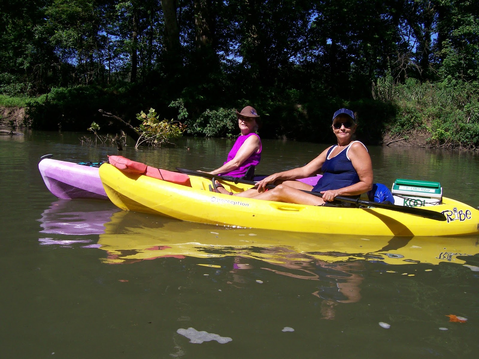
Today the spring cove below the castle cliffs at Ha Ha Tonka is a great location for water craft activities.  Kayak Meet-UPs, hosted by LOWA with Missouri Master Naturalists Volunteers from the Lake of the Ozarks Chapter, are put on the 2nd Saturday each summer month welcoming the public to try out many kinds of kayaks and paddle boards for free to promote non-motorized water craft for good water quality.
Me on a paddle board.

Here I am kayaking by the cliff below the castle.


Barbara and Kathy are affiliated with both LOWA and the Lake of the Ozarks Chapter of Missouri Master Naturalists as volunteers and big promoters.  The new sign marks the beginning of the BNRT at the kayak ramp located at the Spring Area of Ha Ha Tonka State Park.  This is also the location of all the Kayak MeetUPs.
The Lake of the Ozarks Chapter of the Missouri Master Naturalists volunteered to do the brochure, signage, and information board.  We have assured their future maintenance too.  I was a volunteer for the signage committee.  There were 20 metal signs that are located now on the 20 points of interests along the BNRT.  We are promoting a BNRT Club in the future and will organize trash clean-ups.

You can find out more about the Ozarks Chapter of the Missouri Master Naturalists on their website which also includes a link for the brochure and map of the BNRT.

Representatives from LOWA set-up at the kayak ramp to sign-in participants for the monthly Kayak MeetUP and there are plenty of Master Naturalists available to help provide information and instruction.  Kayaks, paddle boards, and life jackets are provided for free.
On this dedication day, representatives from Missouri State Parks were there to provide kayak instructions in more detail and answers questions for the public.

Instructional and Safety Class
Donna from LOWA was a speaker along with representatives from Ameron, Lake of the Ozarks Chapter of Missouri Master Naturalists, and Missouri State Parks.  Included were representatives from  MDC who were advisers as well as volunteers.

Geoganne, who is involved with all the represented groups present, gave a wonderful speech.


I hope you will plan a trip soon to enjoy what we have to offer!  Check back on my blog for future articles and information relating to the BNRT.  If you want to see the Maiden Voyage of the BNRT on an earlier blog use the search tool provided on the right side of the page topside.